Meet the Meteorologist
What's your favorite weather phenomena?
What got you interested in the weather?
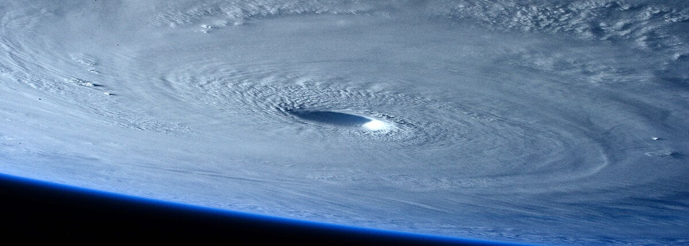

Hurricane Michael has intensified in the last 24 hours to a monstrous category 4 storm and is on a collision course with Florida's Coast. It is expected to make landfall later on today with hurricane-force winds extending outward up to 45 miles! As of this morning, Michael's maximum sustained winds are at 150 mph and the center is located less than 60 miles S of Panama City, Florida. Michael is moving NNE at 14 mph with a pressure of 933 mb. Once Michael hits land, it should weaken as it crosses the southeastern United States.
A hurricane warning remains in effect for Alabama/Florida border and a storm surge warning is in effect for Okaloosa/Walton County, Florida to just north of Tampa. Those in the warned area should follow all advice given by their local officials as life threatening storm surge is likely, in some areas greater than 9 feet. Areas along the entire Gulf Coast are vulnerable to storm surge, regardless of Michael's path.
Michael is expected to produce heavy rainfall which can produce catastrophic flash flooding as it nears the coast and finally makes landfall. Florida's coast and panhandle could see as much as 6-10 inches of rain.
Once Hurricane Michael makes landfall, It will continue to push north and then east moving across Georgia and then into the Carolinas before heading back out to sea. They are still recovering from flooding and damage left behind from Hurricane Florence.
Stay up-to-date with the latest info on Hurricane Michael from Weatherology.
 Paul Trambley
 Derek Heit
 Jennifer Wojcicki
 Laura Lockwood
 Ray Miller