Meet the Meteorologist
What's your favorite weather phenomena?
What got you interested in the weather?
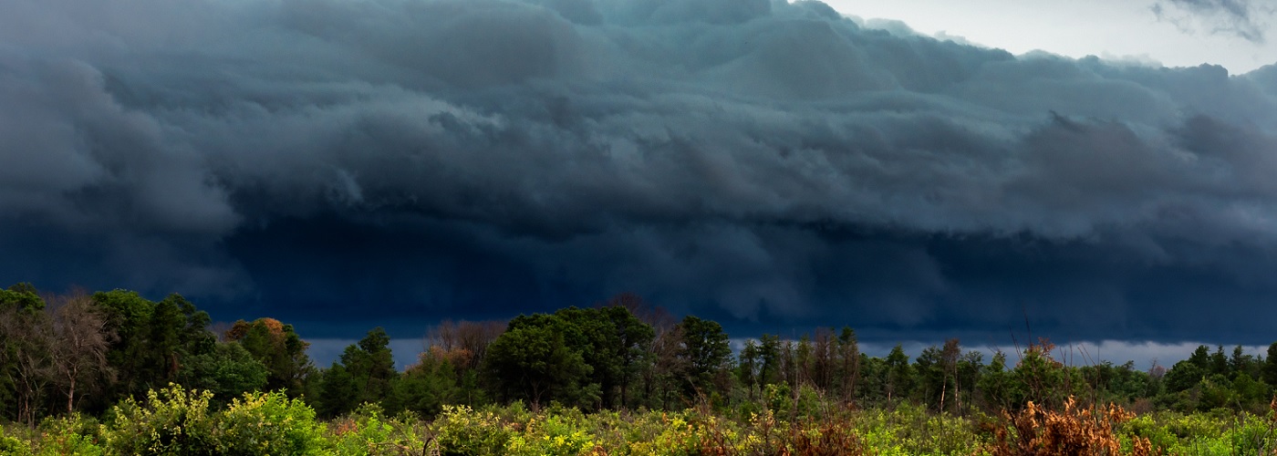

Throughout the summer season, numerous bands of thunderstorms progress across the central and eastern US. In the right atmospheric setup, discrete thunderstorms can band into an organized complex known as an MCS (mesoscale convective system). MCS's commonly contain heavy rains, frequent lightning, and gusty winds. Much of the rain that falls over the Plains of the US during the summer season is provided by these convective systems. When instability, wind shear, and low level moisture is optimal, more intense MCS's will band into a rapidly moving squall line that produces severe straight-line winds. It is these types of MCS's which can evolve into a derecho (pronounced Deh-Ray-Cho).
The word “derecho” is Spanish and means “direct” or “straight ahead.” The term “derecho” was first used by a meteorologist in 1888, when Dr. Gustavus Hinrichs referred to a rapidly moving band of thunderstorms. It was used sporadically by meteorologists in the late 1800s and early 1900s, but then lost popularity thereafter. A paper that was released by meteorologists Robert Johns and William Hirt in 1987 put the term back into the lexicon of meteorology. Today, the official definition of a derecho is a storm complex that produces frequent wind gusts of over 58 mph along a distance of at least 250 miles. These types of storm systems are most frequent in the Plains region of the U.S. during the months of May through July. The most common time to see a derecho form is during the evening and overnight hours. The straight-line winds that occur in these systems can at times exceed 100 mph. One that struck eastern Wisconsin and lower Michigan on May 31st of 1998 had confirmed wind gusts as high as 130 mph!
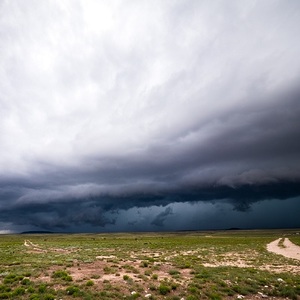
On radar, a derecho will oftentimes have one or more bowing segments, that meteorologists refer to as bow echoes. Bow echoes, like the one shown in the link below, will produce the highest winds along and just behind their leading edge.
When these types of storms hit, head to the same place you would go during a tornado. Although tornadoes can have more intense winds within them, the high winds produced by derechos will be more widespread.
A look into the evolution of a bow echo on a radar display: https://www.spc.noaa.gov/misc/AbtDerechos/bowechoprot.htm


 Derek Heit
 Jennifer Wojcicki
 Laura Lockwood
 Ray Miller


