Meet the Meteorologist
What's your favorite weather phenomena?
What got you interested in the weather?
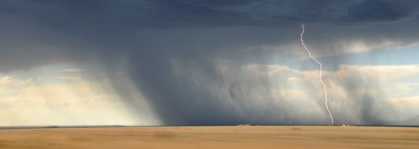

There are many indices that meteorologists analyze when predicting thunderstorms. Some are useful for indicating the potential for tornadic thunderstorms, while others can be used to look at the probability for high winds and hail. Two indices that are often looked at first are known as CAPE and CIN. These acronyms stand for Convective Available Potential Energy (CAPE) and Convective Inhibition (CIN).
One of the main ingredients needed for thunderstorm activity is an unstable atmosphere. In order to diagnose how unstable the atmosphere is the temperature and moisture levels need to be measured from ground level to 10s of thousands of feet aloft. Based on how the moisture and temperature varies with height, the level of atmospheric instability can be diagnosed. When temperature and moisture levels are high closer to the surface and then sharply drop off thousands of feet up, atmospheric instability rises.
CAPE gives a great approximation of instability, and it is derived by looking at how temperature and moisture varies with height. The amount of CAPE is found by looking at how a bubble of air from the surface will react as it rises through the atmosphere. When CAPE levels are high, the bubble of air rises into an environment where it becomes lighter than then air around it, and accelerates upward. CAPE levels give meteorologists the ability to estimate potential updraft speeds in thunderstorms. This is a major tool in estimating the risks for high winds, hail, or tornadic potential in storms.
On days when there is a chance for thunderstorms, but none develop, the culprit is likely due to Convective Inhibition (CIN). In order for a bubble of air to rise into an unstable layer of the atmosphere it must overcome a stable layer of the atmosphere. CIN can be thought of as a number that determines how strong of a lid needs to be punched through in order for the unstable layer to be reached. To punch through the CIN, lift from a frontal boundary, jet streak, or upper trough is needed.
Click here for a look at how CAPE (yellow shading) appears on an atmospheric sounding. https://www.weather.gov/images/ilx/SWOP/sounding2.jpg
 Derek Heit
 Jennifer Wojcicki
 Laura Lockwood
 Ray Miller