Meet the Meteorologist
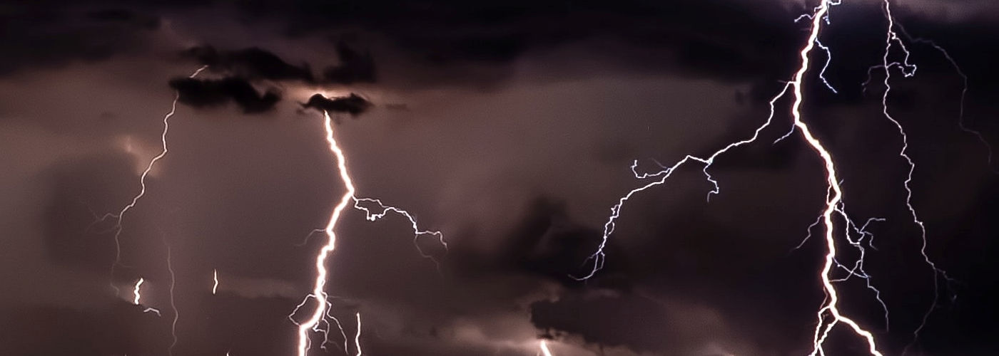
What's your favorite weather phenomena?
What got you interested in the weather?

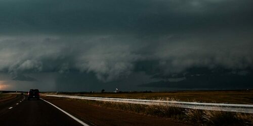
An upper ridge will be in place over the central US through the holiday weekend with a very warm and moist air mass in place leading to moderate to high instability developing in a lot of regions from the Plains to the east coast. There will be at least an isolated threat for storms beneath this ridge with the best chances coming on the periphery of the ridge from parts of the Rockies to the High Plains and into the Dakotas, and then in the vicinity of a stationary front that will be draped from the Southeast to the southern Plains. Given the air mass that will be in place all of the storms will be capable of heavy rain, and severe weather will be possible mainly with any storms developing from the Northern Rockies to the High Plains to the Dakotas.


 Paul Trambley
 Derek Heit
 Jennifer Wojcicki
 Laura Lockwood
 Ray Miller


