Meet the Meteorologist
What's your favorite weather phenomena?
What got you interested in the weather?
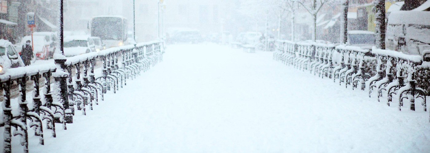

The top story through the weekend will be a trough that will move south out of Canada and through the Great Lakes. Initially, scattered snow showers are expected across eastern ND, northern MN, and Northern WI. Much more significant snow will come off Lake Superior, Lake Michigan, and Lake Erie as favorable winds move across these lakes. Accumulations of 5-10 inches are possible in the western parts of the UP of MI and east of Marquette with 2-6 inches possible in between including Marquette. Further south and east into western lower MI 6-14 inches will be possible. The most significant snows, however, are expected in western NY including Buffalo where a couple of feet of snow is expected as a heavy lake effect snow band will be in place.
Elsewhere, a trough will meander around the western Gulf south of TX and will produce periods of rain across south TX through the weekend and will build east into southern LA Saturday afternoon, southern MS, and southern AL by Saturday evening, and into northern FL Saturday overnight. A front will move through FL on Sunday and will produce scattered showers across central and southern FL.
 Paul Trambley
 Derek Heit
 Jennifer Wojcicki
 Laura Lockwood
 Ray Miller