Meet the Meteorologist
What's your favorite weather phenomena?
What got you interested in the weather?
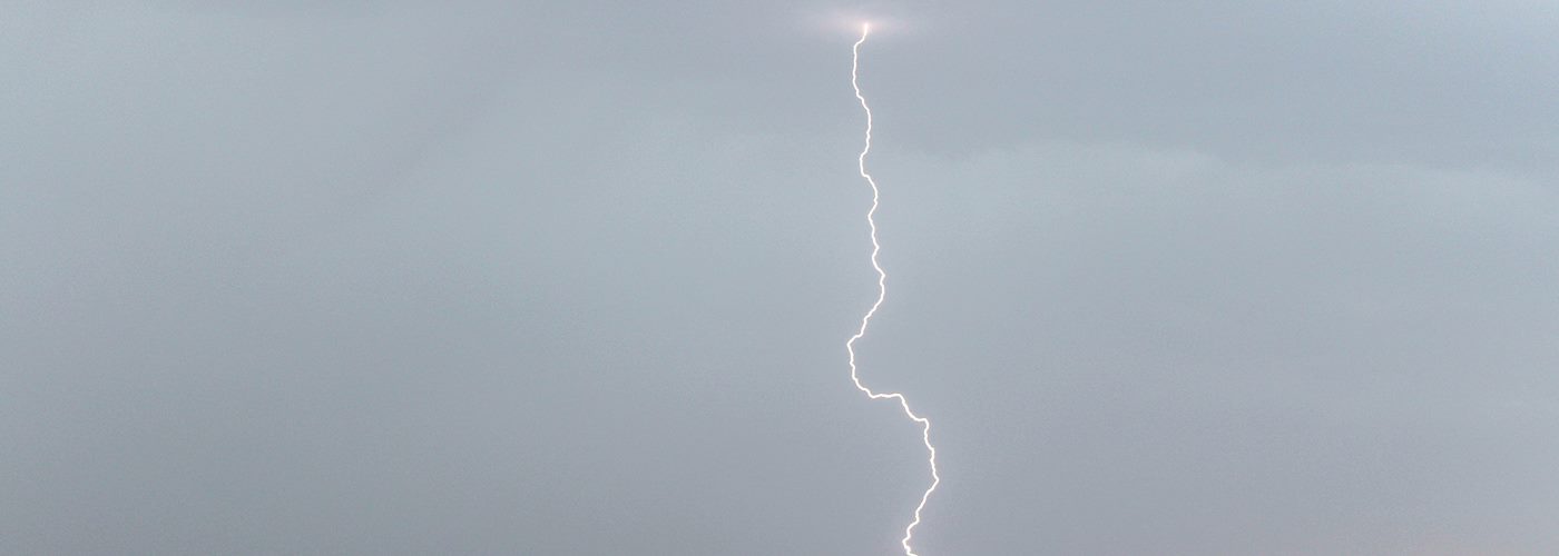

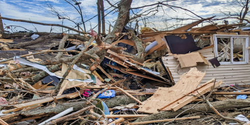
Active weather is expected over parts of the country through the weekend, including the threat of severe weather.
First, the low-pressure system that had been affecting the central part of the country continues east the next few days producing scattered showers and storms in the eastern part of the country. A few of the storms could be severe from north FL to northern ME with the best chances coming from the eastern Carolinas to southern NY/Northern NJ today with marginal chances lingering in parts of New England on Saturday.
Further west an upper ridge will trail the exiting low along with a trough building into the western part of the country. This setup will result in a series of disturbances tracking from southwest to northeast from the Rockies into the Plains and Midwest. A moderate to highly unstable air mass is expected to develop in the Plains and Midwest, especially over the weekend, and the result will be isolated to scattered storms for the Northern Plains and Upper Midwest with some storms being strong to severe. The best chances for severe activity is expected to be in southwest ND/northwest SD today, central SD/north-central NE Saturday with the potential of building into MN and northwest WI, and on Sunday from northeast NE to MN and possibly into northwest WI again as well.
 Paul Trambley
 Derek Heit
 Jennifer Wojcicki
 Laura Lockwood
 Ray Miller