Meet the Meteorologist
What's your favorite weather phenomena?
What got you interested in the weather?

A classic spring storm affects the central part of the country through the weekend producing severe storms and blizzard conditions. A low-pressure system will strengthen this afternoon and evening in NE CO/SE WY/NE panhandle and tracks northeast through the Dakotas Saturday and into Canada by Sunday.
On the warm side of this system, a warm front produces showers and storms that will move northeast east today and Saturday beginning in NE and IA and building through MN, WI, and the UP of MI. Further west beginning in the High Plains and building east to the MS River Valley by Sunday scattered storms, some possibly severe will be focused on a dry line/cold front boundary eventually becoming just a cold front. The best chances for severe storms will be from southwest SD to the northern part of the TX panhandle tonight, by Saturday evening it will be from MN to OK, and on Sunday from the UP and lower parts of MI to north-central TX. The greatest severe hazard will be damaging wind, though the risk of large hail and a few tornadoes will exist as well.
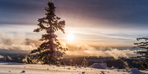
On the cold side of this system, several inches of snow is likely in the mountainous region of the west including the Sierra Nevada in CA and the central and northern Rockies today into early Saturday. Blizzard conditions become likely further east Saturday and Saturday night across eastern MT, western ND, northwest SD, and northeast WY where these areas could pick up over a foot of snow before things wane down early on Sunday. Several inches of snow could even make it as far east as central and eastern ND Saturday night into Sunday.
 Paul Trambley
 Derek Heit
 Jennifer Wojcicki
 Laura Lockwood
 Ray Miller