Meet the Meteorologist
What's your favorite weather phenomena?
What got you interested in the weather?
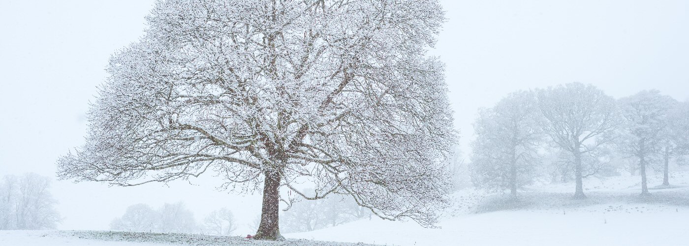

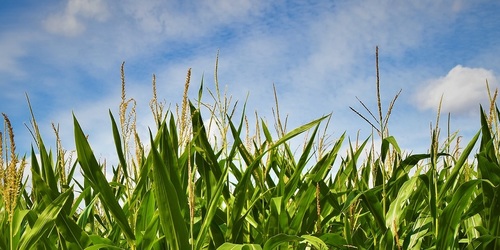
One major system affects the country through the weekend and will bring rain, snow, ice, wind, and maybe even a few severe storms to parts of the country. This system will track from the southwest into the Rockies today, into the Midwest by Saturday, and then into the northeast by Sunday. The most significant precipitation will occur north of the low center as it moves from eastern CO today, NE late tonight into Saturday morning. IA Saturday evening to midday Sunday, and then into the Great Lakes Sunday afternoon and night. The highest snow accumulations look to occur from the western mountains through northwest NE, the Dakotas, and northern Mn and northwest WI. Some could pick up a foot or more with the greatest chances for this coming in northern SD, southeast ND, and northwest MN. Further east of the low will be a cold front which will be the focal point of scattered showers and storms and a few could be severe in eastern OK and north-central TX today, and then a bit greater chance on Saturday for eastern TX, southern AR, much of LA, and western MS.
A lot of weather going on for the holiday travel back home, so keep checking the latest at weatherolgy.com and the weatherolgy app.
 Paul Trambley
 Derek Heit
 Jennifer Wojcicki
 Laura Lockwood
 Ray Miller