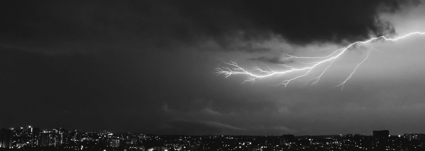

More active weather for parts of the country through the weekend with some severe storms possible.
In the southeast, a slow-moving system will continue to affect areas from the Mid Mississippi River Valley eastward through the Ohio River Valley and into the southern parts of the mid-Atlantic southward to the Gulf Coast states. Isolated severe storm activity will be possible from LA east-northeastward to southern NC southward today and then just southern GA and northern FL on Sunday. Isolated storms may develop further north on Saturday and Sunday into the Great Lakes, and then Sunday night/overnight into the northeast.
Heading west a system will continue to move from the northwest eastward through the weekend. Scattered showers and a few storms will be possible today and into part of Saturday in WA, OR, ID, and western MT, but better chances for widespread activity will be east in the vicinity of a cold front tonight through the weekend. The higher chance through the weekend for severe weather will come in the western Dakotas, eastern MT, and northern WY this afternoon and night, and more isolated activity could extend southward through the High Plains. Storm activity then heads east through the Plains and into the Midwest over the weekend with isolated severe storms possible Saturday from the TX panhandle north-northeastward to western MN.