Meet the Meteorologist
What's your favorite weather phenomena?
What got you interested in the weather?

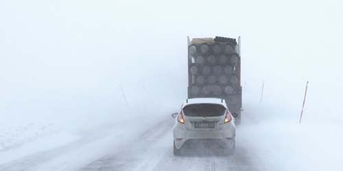
A low pressure system continues to affect the Northeast today and tonight, with more snow showers expected. Most areas will have a chance for an additional 1-3 inches, with any higher amounts staying in higher elevations or in the lake effect snow belts off Lake Erie and Lake Ontario. Strong winds will be an issue in these regions as well, creating some blowing snow with winds possibly gusting in the 30-35mph range at times.
A warm front will continue to move through the Dakotas today, producing mainly light precipitation ahead of it in the form of snow, freezing rain, and/or sleet, creating some icy conditions in the eastern Dakotas early today, building across MN this afternoon and evening, and then through WI late this evening and overnight.
The western third of the country will continue to see rain and snow, with the heaviest snows occurring in the Sierra Nevada and more rain for areas such as Seattle, Portland, and the Bay Area in CA. Rain chances could make it as far south as Los Angeles and San Diego this evening, and as far east as Las Vegas by Thursday morning.
 Paul Trambley
 Derek Heit
 Jennifer Wojcicki
 Laura Lockwood
 Ray Miller